Table of Contents
PRO
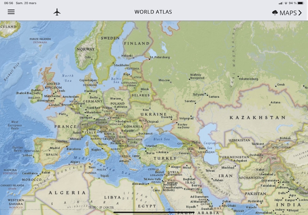
FlightLog now comes with a fair new Atlas you can consult offline, in flight.
Download tiles #
First, download tiles by clicking on MAPS button. Several levels of zoom are available :

- LOW RES (zoom 4-6 ≃ 6000-1500m)
- MED RES (zoom 7 ≃ 1000m)
- HIGH RES (zoom 8 ≃ 500m)
Press Download or Reset for each RES level, you have to do this only once. Please consider around 1h for all sets, depending of your network, and check you have sufficient space available on your device (around 1Gb) as maps will be stored on your device.
Consult maps #
Consult the maps, pan or pinch to zoom, use the plane icon to center map onto your GPS location (may need a GLO GPS in flight)

You can also display you flight route by going into a specific flight and hit ATLAS button.